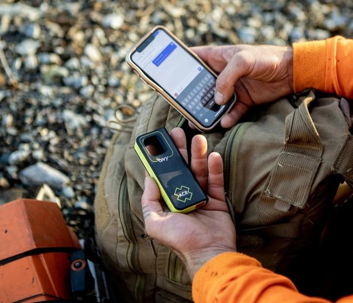
Too many Lone Working solutions stop at a Panic Button.
And "yes", a panic button absolutely has its place. If someone is in trouble, raises an alert, and emergency services arrive, that matters. Duty of Care is ticked and everyone feels reassured.
But it only addresses one side of the problem.
What about the situations where the lone worker does not yet know they are at risk? An incident unfolding nearby. Civil unrest around the corner. A developing situation in an unfamiliar location. Often, the organisation has visibility before the individual does.
That is where Duty of Care is really tested.
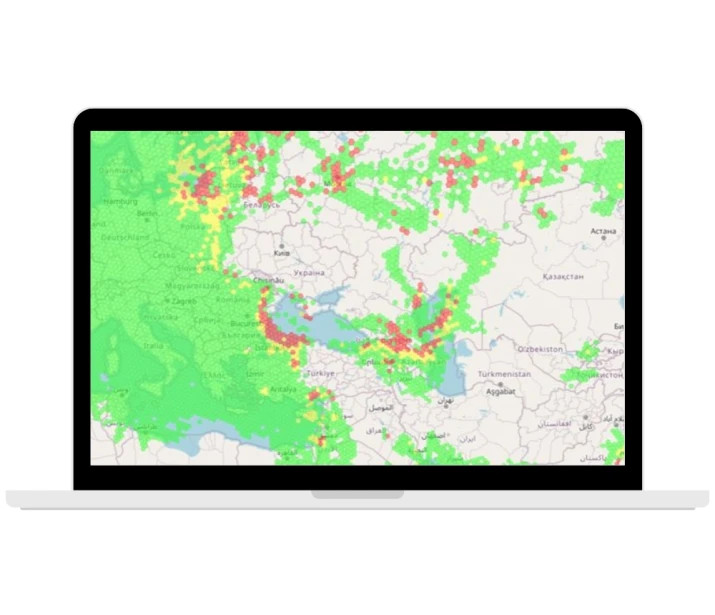
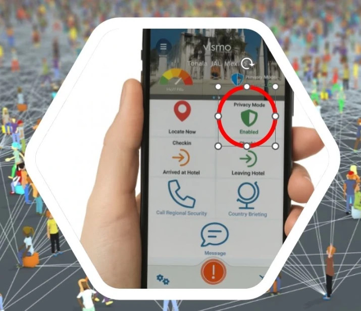
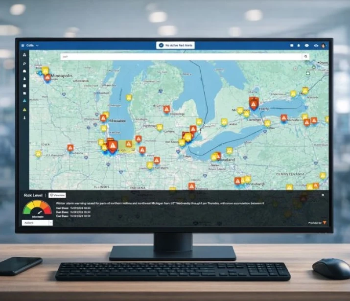
At Vismo, we take a different approach. Through our long standing relationship with Factal, organisations receive verified critical incident alerts across the UK, and domestically across the US and Canada. When a lone worker is operating in or near an affected area, that context is visible in real time, allowing the organisation to proactively engage rather than waiting for something to go wrong.
Instead, it becomes a simple, human message:
“We know something is happening near you. This is what it is. This is what you should do. Let us know when you are safe.”
That turns lone working into a genuine two-way conversation. The individual can still raise an alert when they need help, but the organisation is actively looking out for them rather than placing all the responsibility on the person in the field.
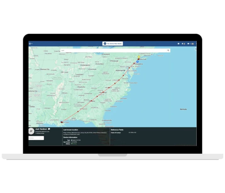
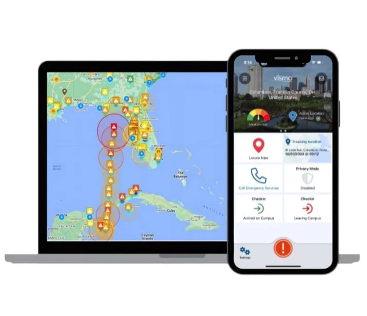
And when an alert is raised, our relationship with RapidSOS means emergency services can be engaged within seconds, sharing precise location and critical context directly with 999 or 911 call takers. That speed matters when every moment counts.
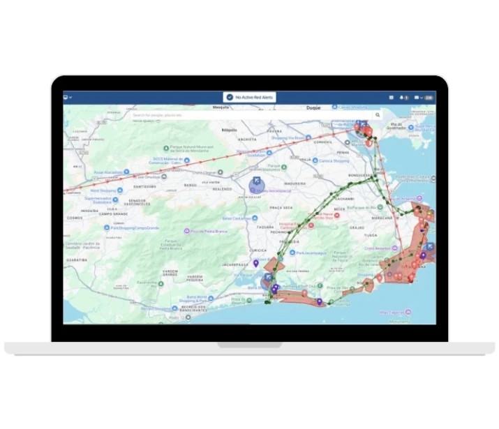
Add our mass notification into the mix and Vismo becomes more than a Lone Worker App. It becomes an end to end critical event management capability.
For me, that is what real Duty of Care looks like. Not just reacting after the fact but actively protecting people before situations escalate.
If you are still relying solely on a panic button, it might be worth asking whether that is really enough?